Chicamuxen Wildlife Management Area
Appearance
| Chicamuxen Wildlife Management Area | |
|---|---|
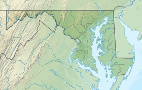
| Location | Charles, Maryland, United States |
| Coordinates | 38°32′32″N 77°13′25″W / 38.54222°N 77.22361°W |
| Area | 381 acres (154 ha) |
| Operator | Maryland Department of Natural Resources |
| Website | Chicamuxen WMA |
Chicamuxen Wildlife Management Area is a state Wildlife Management Area along Chickamuxen Creek near the Potomac River in Charles County, Maryland. The area includes a variety of landforms from marshland to rolling forest. The area provides duck and white-tailed deer habitat. The area was the location of an encampment for General Joseph Hooker's troops during the American Civil War.[1]
References
[edit]- ^ "Chicamuxen WMA". Maryland Department of Natural Resources. Retrieved 2 May 2018.
External links
[edit]

